365telugu.com online news,HYDERABAD,January 31st,2026: In a significant move toward digital transformation in agriculture, Professor Jayashankar Telangana Agricultural University (PJTAU) is set to submit a comprehensive satellite-based crop area estimation report to the state government.
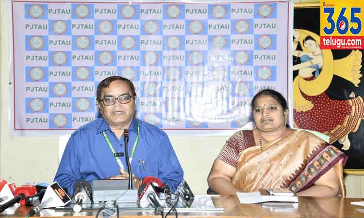
During a press conference held at the College of Community Science in Saifabad, PJTAU Vice-Chancellor Prof. Aldas Janaiah announced that the final findings will be presented to the Honorable Minister for Agriculture, Shri Thummala Nageswara Rao, on February 6th.
The university’s innovative study, which covered nearly 10,000 revenue villages, has revealed a notable discrepancy in land usage. Preliminary data indicates that the actual cropped area is approximately 8% to 12% less than the total land currently recorded as cultivable.
ఇదీ చదవండి..హైదరాబాద్లో ప్రపంచ స్థాయి ఆభరణాల ప్రదర్శన: పీఎంజే జ్యువెల్స్ అద్భుత ఆవిష్కరణ..
Read this also..15-Year Infertility Battle Ends in Success at Hyderabad’s Birla Fertility & IVF..
This survey was made possible through the university’s Advanced Digital Agriculture and Technology Center, utilizing its cutting-edge Agri-Robotics and Remote Sensing/GIS laboratories.
Precision via International Collaboration
To ensure global standards of accuracy, PJTAU partnered with SARMAP, a leading satellite imagery analysis firm based in Switzerland. This project mapped crop areas survey-number-wise across the state.
High Accuracy: Field verification by agricultural staff confirmed a 90% accuracy rate for the satellite data.
Widespread Coverage: Estimation has been completed for all revenue villages in the state, excluding approximately 870 villages where digital maps were unavailable.
Read this also..Reliance Foundation Hits Major Skilling Milestone: 3 Lakh Youth Trained..
Read this also..Giants Set 168-Run Target in Playoff Decider..
Impact on Farmers and Governance
Prof. Janaiah highlighted three critical areas where this high-tech data will revolutionize the agricultural sector:
Insurance Fairness: Accurate mapping ensures that every farmer who suffers a crop loss receives the correct insurance compensation.

Procurement Transparency: Real-time data will streamline the government’s crop purchase and procurement processes, reducing delays and leakage.
Welfare Distribution: The data acts as a verified ledger to ensure that government subsidies and schemes reach every eligible farmer without exclusion.
This initiative positions Telangana as a frontrunner in utilizing Agri-Tech and AI to solve ground-level administrative challenges in the farming sector.